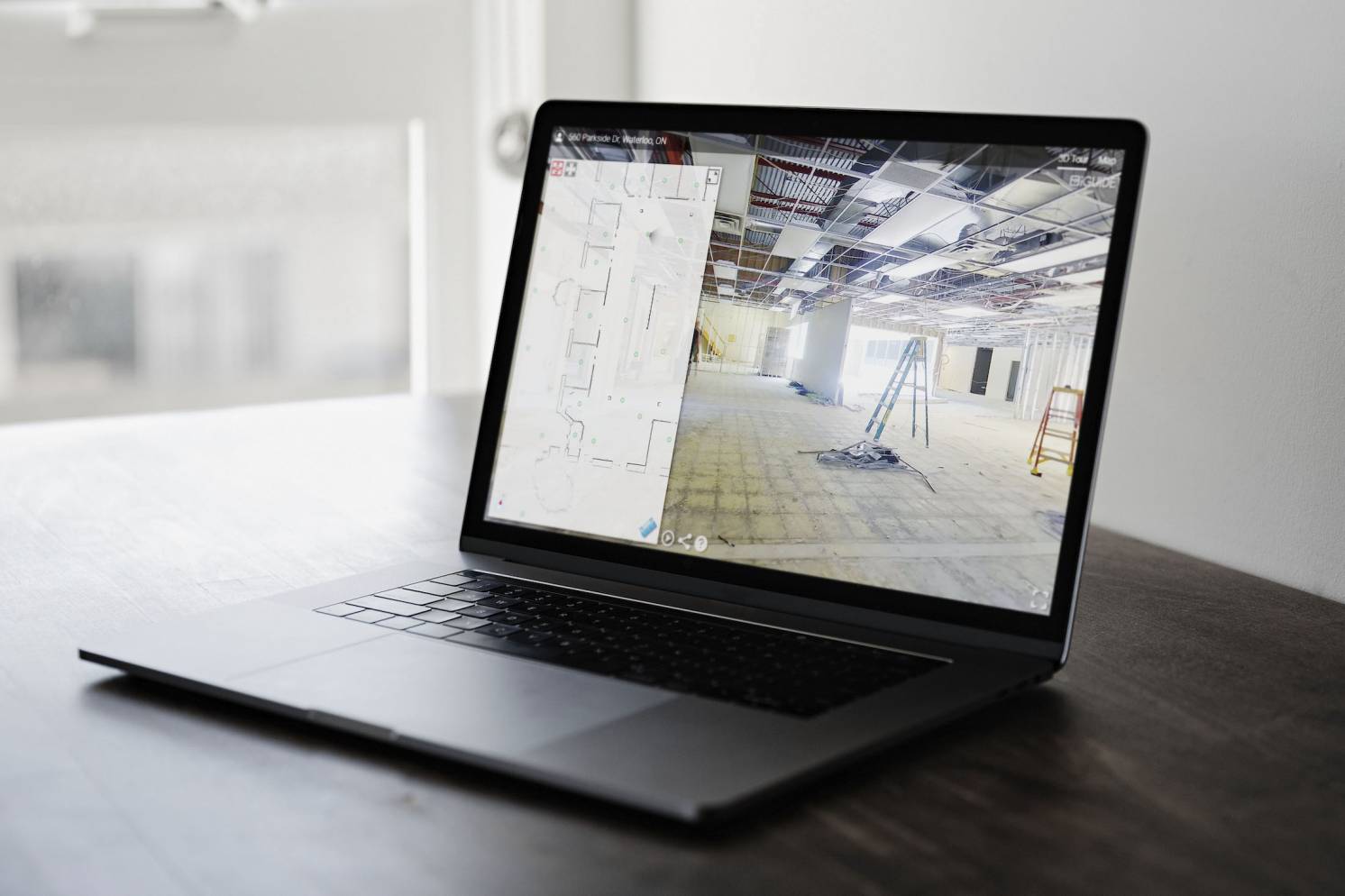
iGUIDE Radix provides the technology for insurance and restoration professionals to capture comprehensive property data for use in estimating the cost of damages quickly and efficiently.
KITCHENER, Ontario - Aug. 4, 2021 - PRLog -- Planitar Inc. the makers of the iGUIDE camera system and space mapping technology, today announced the launch of iGUIDE Radix. iGUIDE Radix allows users to capture comprehensive property data for use in estimating the cost of damages quickly and efficiently. The iGUIDE Radix will be available in Beta on August 10th, 2021.
"The launch of iGUIDE Radix is an exciting one because this is where technology can reshape an industry! We have designed Radix specifically for insurance and restoration professionals to capture and share comprehensive property data for use in estimating the cost of damages in a very cost-effective way," says Michael Vervena, VP of Sales & Marketing at Planitar. "Within minutes, you can document a property loss, upload the data from your phone, and share the images and measurements instantly with your estimator. This is faster and easier than sketching by hand or using other technologies, especially when it comes to the majority of losses that are just several rooms - you speed up the process, reduce travel time, and increase efficiency."
Capturing the state of a property for insurance claims and restoration purposes can be expensive and time-consuming. Numerous site visits may be required to gather comprehensive data such as detailed measurements and photographs. With iGUIDE Radix, users can save time by capturing data quickly and cut costs by eliminating the need for multiple site visits. iGUIDE Radix also provides accurate measurements and the ability to access, download and share the complete set of data, which includes 3D tour and all assets for archiving.
"In our industry, it is all about taking a photo that gathers as much data as possible with one click and then translating that data into the estimating software. iGUIDE Radix is the tool for the job," Paul Spencer, Virtual Estimating.
iGUIDE Radix uses the iGUIDE camera system to capture 360-degree images and lidar measurements. The results can be downloaded as a 3D tour or a CAD file which can then be used to draft up floor plans and gather estimates to begin the restoration process.
Planitar first launched its 3D tour camera technology in 2013 and since then has successfully broadened its customer base across North America and other parts of the world. iGUIDE is the sought-after choice amongst real estate photographers and professionals due to its innovative technology that optimizes customer workflows.
The new iGUIDE Radix is available to order in Beta on August 10th.
To learn more about iGUIDE Radix for insurance and restoration, please visit: https://goiguide.com/insurance-restoration
About Planitar Inc.
Founded in 2013 in Kitchener, Ontario, Canada, Planitar Inc. is the maker of iGUIDE, a proprietary camera system and software platform for connecting people with essential property information. iGUIDE is the most efficient system for mapping interior spaces that features immersive 3D tours, accurate floor plans, room dimensions, and reliable property square footage calculations. By integrating floor plans and 360° imagery, iGUIDE provides an intuitive and practical way to digitally navigate and explore built environments.
Contact
Lion & Orb
***@lionandorb.com
Photos: (Click photo to enlarge)
Read Full Story - Planitar Unveils New iGUIDE Radix | More news from this source
Press release distribution by PRLog
Planitar Unveils New iGUIDE Radix
August 04, 2021 at 17:21 PM EDT

