
Google Maps Update Lets You Measure Distance, Draw Crude Pictures
July 09, 2014 at 09:52 AM EDT
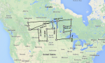


Google Maps just released a small, useful update for its Maps desktop product (via TNW). On the web, you can now right-click on any map and select “Measure Distance” to start charting a path and adding points, with Google offering up distances for each of the segments you create. It’s a handy way to find out approximately how far you’ll be travelling for a backwoods hike… Read More
