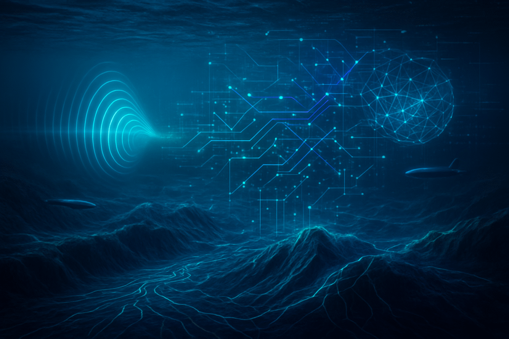
In a landmark collaboration poised to revolutionize oceanography, Raymarine, a global leader in marine electronics, has joined forces with The Nippon Foundation-GEBCO Seabed 2030 Project. This ambitious partnership aims to accelerate the comprehensive mapping of the world's entire ocean floor by the year 2030, leveraging Raymarine's advanced sonar technology and a unique crowdsourcing model. The initiative represents a critical step forward in understanding our planet's most unexplored frontier, providing foundational data crucial for climate modeling, marine conservation, and sustainable resource management.
The immediate significance of this alliance, announced around November 2025, lies in its potential to dramatically increase the volume and resolution of bathymetric data available to the global scientific community. By integrating data from thousands of vessels equipped with Raymarine's state-of-the-art sonar systems, the project is rapidly filling critical data gaps, particularly in coastal and offshore regions that have historically been under-surveyed. This collaborative approach underscores a growing trend where private industry innovation is directly contributing to large-scale global scientific endeavors.
Unveiling the Ocean's Depths: A Technical Deep Dive
Raymarine's contribution to the Seabed 2030 Project is primarily driven by its cutting-edge sonar systems, most notably the Element CHIRP Sonar / GPS series. These systems provide an unparalleled view of the underwater world through a suite of advanced technologies. Key technical capabilities include HyperVision
 Sonar, utilizing super high frequencies (1.2 megahertz) and CHIRP technology for extremely high-resolution DownVision, SideVision, and RealVision 3D imaging up to 100 feet. For deeper insights, Standard CHIRP Sonar operates at 350 kHz, reaching depths of 600 feet, while High CHIRP Sonar (200 kHz) extends to 900 feet, excelling in fish targeting and high-speed bottom tracking. Features like RealBathy
 allow users to create custom maps, further enhancing data density.
This crowdsourced bathymetry (CSB) approach marks a significant departure from traditional ocean mapping. Historically, bathymetric data was gathered through costly, time-consuming dedicated hydrographic surveys by specialized research vessels. While only 6% of the ocean floor was mapped to modern standards in 2017, this figure rose to 26.1% by World Hydrography Day 2024. Crowdsourcing, by contrast, mobilizes a vast network of existing vessels—from recreational boats to merchant ships—effectively turning them into data collection platforms. This distributed model efficiently gathers data from under-surveyed areas, significantly reduces costs, and rapidly increases coverage and resolution globally.
While Raymarine's immediate announcement doesn't detail a specific AI advancement for data processing within this collaboration, the Seabed 2030 Project heavily relies on AI. AI plays a crucial role in processing and analyzing the vast amounts of crowdsourced data. This includes real-time data acquisition and quality control, automated filtering and processing to remove noise and optimize parameters, and enhanced analysis for instant report generation. AI platforms can identify patterns, anomalies, and features that might be missed by human observers, leading to a more comprehensive understanding of seafloor topography and marine habitats. Experts emphasize that AI will streamline workflows, reduce human error, and accelerate the creation of accurate, high-resolution maps.
Reshaping the AI and Marine Tech Landscape
The influx of freely available, high-resolution bathymetric data, facilitated by Raymarine and the Seabed 2030 Project, is poised to create significant ripples across the AI industry. AI companies specializing in marine data analytics and visualization, such as Terradepth, stand to benefit immensely from an expanded dataset to refine their platforms and train more robust machine learning models. Developers of Autonomous Marine Vehicles (AMVs), including Autonomous Underwater Vehicles (AUVs) and Uncrewed Surface Vessels (USVs), will leverage this comprehensive data for enhanced autonomous navigation, route optimization, and operational efficiency.
Competitive implications are substantial. With lowered barriers to data access, competition will intensify for developing superior AI solutions for marine contexts, pushing companies to differentiate through advanced algorithmic capabilities and specialized applications. This could lead to a shift towards open-source and collaborative AI development, challenging companies relying solely on proprietary data. Tech giants with interests in marine technology, data analytics, or environmental monitoring—like Google (NASDAQ: GOOGL) or Garmin (NYSE: GRMN)—will find new avenues for their AI applications, from enhancing mapping services to supporting maritime surveillance.
This development could disrupt traditional marine surveying, as crowdsourced bathymetry, when processed with AI, offers a more continuous and cost-effective mapping method, especially in shallower waters. This might reduce reliance on dedicated hydrographic vessels for routine tasks, freeing them for higher-precision or deeper-water missions. For companies like Raymarine, a brand of FLIR Systems (NASDAQ: FLIR), this collaboration offers a strategic advantage. It provides continuous access to massive real-world data streams for training and refining their proprietary AI models for sonar systems and navigation. This enhances product offerings, strengthens brand reputation as an innovative leader, and establishes a crucial feedback loop for AI development.
A New Era for Ocean Science and Environmental AI
Raymarine's collaboration with the Seabed 2030 Project fits perfectly into the broader AI landscape's trend towards advanced data collection, crowdsourcing, and environmental AI. It exemplifies how sophisticated sensor technologies, often AI-enhanced, are being leveraged for large-scale data acquisition, and how AI is becoming indispensable for processing, quality control, and analysis of vast datasets. This directly contributes to environmental AI, providing foundational data critical for understanding and addressing climate change, marine conservation, and predicting environmental shifts.
The societal, environmental, and economic impacts of a complete seabed map are profound. Societally, it promises improved tsunami forecasting, safer navigation, and richer scientific research. Environmentally, it will aid in understanding ocean circulation and climate models, identifying vulnerable marine habitats, and managing ocean debris. Economically, it will support sustainable fisheries, offshore energy development, and infrastructure planning, fostering growth in the "blue economy." The project, a flagship program of the UN Decade of Ocean Science for Sustainable Development, has already seen the mapped ocean floor increase from 6% in 2017 to 26.1% by World Hydrography Day 2024, with Raymarine's contribution expected to accelerate this progress.
However, challenges remain. Ensuring consistent data quality and standardization across diverse crowdsourced contributions is crucial. Technical complexities in mapping deep waters and polar regions persist, as do the immense computational demands for processing vast datasets, raising concerns about energy consumption. Ethical considerations around data ownership and the responsible use of autonomous technologies also require careful attention. Compared to previous AI milestones in marine science, this initiative represents a significant leap from manual to automated analysis, enabling real-time insights, predictive modeling, and large-scale data initiatives through autonomous exploration, fostering an interdisciplinary convergence of marine science, AI, and robotics.
Charting the Future: Autonomy, AI, and Uncharted Depths
Looking ahead, the collaboration between Raymarine and Seabed 2030 foreshadows transformative developments in seabed mapping and marine AI. In the near term, we can expect a significant increase in the use of autonomous surface vessels (ASVs) and AUVs for surveying, particularly in coastal areas, complemented by continued crowdsourcing from a wide array of vessels. AI integration will focus on optimizing data acquisition and processing, with algorithms improving underwater mapping by making sense of incomplete data and determining optimal measurement strategies.
Long-term developments envision autonomous survey vessels handling all seabed mapping tasks, including complex offshore operations, potentially employing "swarm approaches" where multiple small autonomous robots cooperatively map vast areas. AI will evolve to include increasingly sophisticated algorithms for complex analysis and predictive modeling, such as AI-powered image recognition for marine species identification and tracking, and analysis of satellite images for subtle habitat changes. Potential applications include enhanced marine conservation and environmental management, more efficient resource management for industries, improved safety and disaster preparedness, and accelerated scientific discovery.
Despite the promising outlook, several challenges must be addressed. Technical complexities in mapping extreme environments, managing the immense data and computational demands, and ensuring equitable access to advanced AI tools for all nations remain critical hurdles. Environmental and ethical concerns related to autonomous technologies and data ownership also require careful consideration. Experts widely predict that autonomous vehicles will have the most significant impact on future ocean mapping, acting as "force multipliers" for higher-resolution data acquisition and monitoring. Within a decade, fully autonomous vessels are expected to handle most seabed mapping tasks offshore, with AI becoming increasingly integrated into marine robotics, environmental monitoring, and policy-making.
A Collaborative Voyage Towards a Fully Mapped Ocean
Raymarine's collaboration with The Nippon Foundation-GEBCO Seabed 2030 Project is more than just a partnership; it's a monumental endeavor merging advanced marine electronics with a global scientific mission. The key takeaway is the power of crowdsourcing combined with cutting-edge technology to tackle one of humanity's grandest scientific challenges: mapping the entirety of the ocean floor. This development marks a significant milestone in AI history, showcasing how AI-compatible data initiatives can accelerate scientific understanding and drive environmental stewardship.
The long-term impact will be profound, providing an indispensable foundational dataset for global policy, sustainable resource use, and continued scientific exploration for generations. It will enhance our understanding of critical planetary processes, from climate regulation to geological phenomena, fostering marine conservation and showcasing the immense potential of collaborative, technology-driven initiatives.
In the coming weeks and months, watch for updates on the percentage of the ocean floor mapped, which is steadily increasing. Pay attention to how Raymarine's crowdsourced data is integrated into the GEBCO grid and its impact on map resolution and coverage. Expect announcements of new geological discoveries and insights into oceanographic processes as more detailed bathymetric data becomes available. Finally, keep an eye on further technological advancements, especially explicit applications of AI and autonomous underwater vehicles, which will continue to accelerate mapping efforts and inform critical policy and conservation outcomes.
This content is intended for informational purposes only and represents analysis of current AI developments.
TokenRing AI delivers enterprise-grade solutions for multi-agent AI workflow orchestration, AI-powered development tools, and seamless remote collaboration platforms.
For more information, visit https://www.tokenring.ai/.


